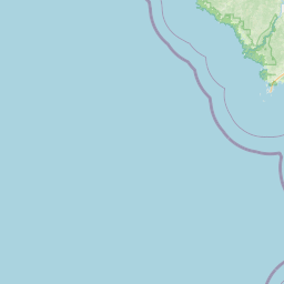
Latitude and longitude of Reedy Creek Improvement District
- Nearby Davenport, Florida, United States
Satellite map of Reedy Creek Improvement District
The Reedy Creek Improvement District (RCID) is the immediate governing jurisdiction for the land of the Walt Disney World Resort. As of the late 1990s, it comprised an area of 38.6 sq mi (100 km2) within the outer limits of Orange and Osceola counties in Florida.
Latitude: 28° 21' 0.00" N
Longitude: -81° 33' 36.00" W
Nearest city to this article: Celebration, Florida
Read about Reedy Creek Improvement District in the Wikipedia Satellite map of Reedy Creek Improvement District in Google Maps


Leaflet | © OpenStreetMap contributors