Latitude and longitude of Shafter Airport
- Nearby Oildale, United States
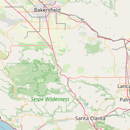
Satellite map of Shafter Airport
Shafter Airport (IATA: MIT, ICAO: KMIT, FAA LID: MIT), also known as Minter Field, is a public use airport located four nautical miles (5 mi, 7 km) east of the central business district of Shafter, a city in Kern County, California, United States. It is owned by the Minter Field Airport District.
Latitude: 35° 30' 16.19" N
Longitude: -119° 11' 19.20" W
Nearest city to this article: Shafter, California
Read about Shafter Airport in the Wikipedia Satellite map of Shafter Airport in Google Maps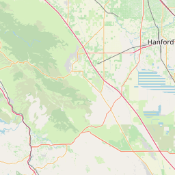


Leaflet | © OpenStreetMap contributors