Latitude and longitude of Montana Highway 2
Satellite map of Montana Highway 2
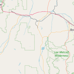
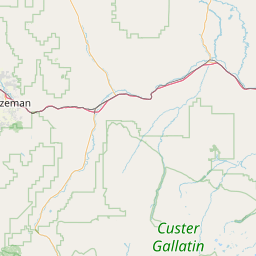
Montana State Highway 2 is a highway in southern Montana extending from Butte to Three Forks. Previously, this highway was a part of U.S.
Latitude: 45° 59' 1.64" N
Longitude: -112° 30' 17.52" W
Nearest city to this article: Butte, Montana
Read about Montana Highway 2 in the Wikipedia Satellite map of Montana Highway 2 in Google Maps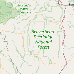
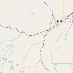

Leaflet | © OpenStreetMap contributors