Latitude and longitude of Seward County, Kansas
- Nearby Liberal, Kansas, United States
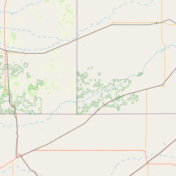
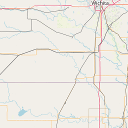
Satellite map of Seward County, Kansas
Seward County (standard abbreviation: SW) is a county of the U.S. state of Kansas. As of the 2010 census, the county population was 22,952. The largest city and county seat is Liberal. The county was formed on March 20, 1873 and named after William Henry Seward, an American politician and Secretary of State under Abraham Lincoln and Andrew Johnson.
Latitude: 37° 09' 0.60" N
Longitude: -100° 45' 1.79" W


Leaflet | © OpenStreetMap contributors