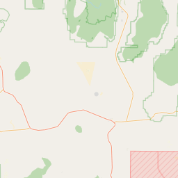
Latitude and longitude of City College (Sacramento RT)
- Nearby Woodland, California, United States
Satellite map of City College (Sacramento RT)
City College is a side platformed Sacramento RT light rail station on the Sacramento City College campus in Sacramento, California, United States. The station was opened on September 26, 2003, and is operated by the Sacramento Regional Transit District.
Latitude: 38° 32' 18.41" N
Longitude: -121° 29' 4.33" W
Nearest city to this article: Sacramento
Read about City College (Sacramento RT) in the Wikipedia Satellite map of City College (Sacramento RT) in Google Maps


Leaflet | © OpenStreetMap contributors