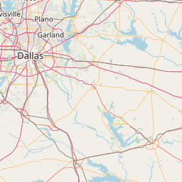
Latitude and longitude of South Garland High School
- Nearby University Park, Texas, United States
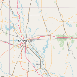
Satellite map of South Garland High School
South Garland High School is a secondary school located in Garland, Texas. The school is part of the Garland Independent School District.
Latitude: 32° 52' 18.12" N
Longitude: -96° 37' 6.24" W
Nearest city to this article: University Park, Texas
Read about South Garland High School in the Wikipedia Satellite map of South Garland High School in Google Maps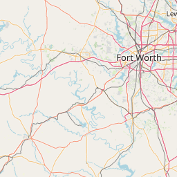

Leaflet | © OpenStreetMap contributors