Latitude and longitude of Arlington Municipal Airport (Texas)
- Nearby University Park, Texas, United States
Satellite map of Arlington Municipal Airport (Texas)
Arlington Municipal Airport (ICAO: KGKY, FAA LID: GKY) is a public use airport located four nautical miles (7 km) south of the central business district of Arlington, a city in Tarrant County, Texas, United States. The airport is at the intersection of Interstate 20 and South Collins Road.
Latitude: 32° 39' 29.99" N
Longitude: -97° 05' 23.40" W
Nearest city to this article: Kennedale
Read about Arlington Municipal Airport (Texas) in the Wikipedia Satellite map of Arlington Municipal Airport (Texas) in Google Maps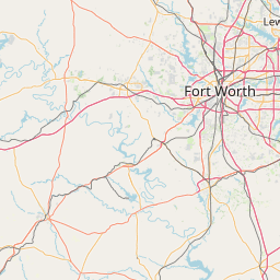


Leaflet | © OpenStreetMap contributors