Latitude and longitude of Margaret Hunt Hill Bridge
- Nearby University Park, Texas, United States
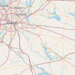
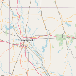
Satellite map of Margaret Hunt Hill Bridge
The Margaret Hunt Hill Bridge is a bridge in Dallas, Texas which spans the Trinity River and was built as part of the Trinity River Project.
Latitude: 32° 43' 28.79" N
Longitude: -96° 49' 11.39" W
Nearest city to this article: Cockrell Hill
Read about Margaret Hunt Hill Bridge in the Wikipedia Satellite map of Margaret Hunt Hill Bridge in Google Maps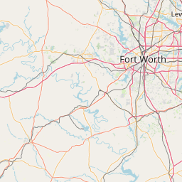

Leaflet | © OpenStreetMap contributors