Latitude and longitude of George W. Bush Presidential Center
- Nearby University Park, Texas, United States
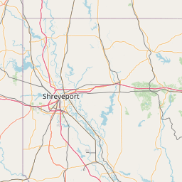
Satellite map of George W. Bush Presidential Center
The George W. Bush Presidential Center, which opened on April 25, 2013, is a complex that includes former President George W. Bush's presidential library and museum, the George W. Bush Policy Institute, and the offices of the George W. Bush Foundation.
Latitude: 32° 50' 27.24" N
Longitude: -96° 46' 41.16" W
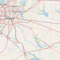
Nearest city to this article: Highland Park, Texas
Read about George W. Bush Presidential Center in the Wikipedia Satellite map of George W. Bush Presidential Center in Google Maps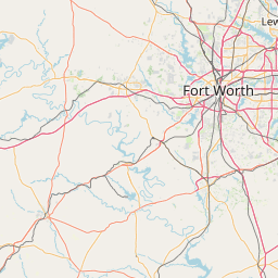

Leaflet | © OpenStreetMap contributors