Latitude and longitude of Springfield–Beckley Municipal Airport
- Nearby Dayton, Ohio, United States
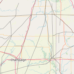
Satellite map of Springfield–Beckley Municipal Airport
Springfield–Beckley Municipal Airport (IATA: SGH, ICAO: KSGH, FAA LID: SGH) is a joint use civil-military airport located five miles (8 km) south of the central business district of Springfield, a city in Clark County, Ohio, United States. It is owned by the city of Springfield.
Latitude: 39° 50' 14.99" N
Longitude: -83° 50' 14.99" W
Nearest city to this article: Yellow Springs, Ohio
Read about Springfield–Beckley Municipal Airport in the Wikipedia Satellite map of Springfield–Beckley Municipal Airport in Google Maps


Leaflet | © OpenStreetMap contributors