Latitude and longitude of Lejeune High School
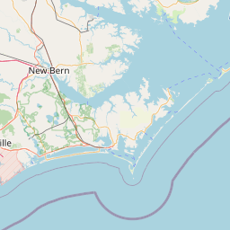
Satellite map of Lejeune High School
Lejeune High School /ləˈdʒuːn/ is a high school located on the Marine Corps Base Camp Lejeune near Jacksonville, North Carolina. The school is operated by the Department of Defense Education Activity of the United States Department of Defense.
Latitude: 34° 42' 51.40" N
Longitude: -77° 21' 28.91" W
Nearest city to this article: Piney Green
Read about Lejeune High School in the Wikipedia Satellite map of Lejeune High School in Google Maps


Leaflet | © OpenStreetMap contributors