Latitude and longitude of San Buenaventura State Beach
- Nearby Oxnard, United States
Satellite map of San Buenaventura State Beach
San Buenaventura State Beach is a beach located in Ventura, California.
Latitude: 34° 16' 1.80" N
Longitude: -119° 16' 25.80" W
Nearest city to this article: Ventura, California
Read about San Buenaventura State Beach in the Wikipedia Satellite map of San Buenaventura State Beach in Google Maps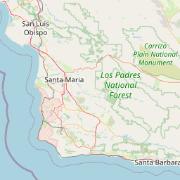


Leaflet | © OpenStreetMap contributors