Latitude and longitude of Shady Hills, Florida
- Nearby Spring Hill, Florida, United States
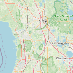
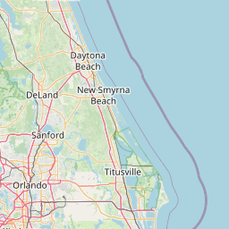
Satellite map of Shady Hills, Florida
Shady Hills is a census-designated place (CDP) in Pasco County, Florida, United States. The population was 7,798 at the 2000 census. It is in the Tampa-St. Petersburg-Clearwater, Florida Metropolitan Statistical Area.
Latitude: 28° 24' 11.99" N
Longitude: -82° 32' 30.59" W
Nearest city to this article: Shady Hills, Florida
Read about Shady Hills, Florida in the Wikipedia Satellite map of Shady Hills, Florida in Google Maps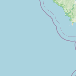


Leaflet | © OpenStreetMap contributors