Latitude and longitude of Montana City, Montana
- Nearby Helena, Montana, United States
Satellite map of Montana City, Montana
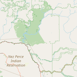
Montana City is a census-designated place (CDP) in Jefferson County, Montana, United States. The population was 2,715 at the 2010 census.
Latitude: 46° 32' 8.39" N
Longitude: -111° 55' 32.39" W
Nearest city to this article: Montana City, Montana
Read about Montana City, Montana in the Wikipedia Satellite map of Montana City, Montana in Google Maps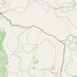
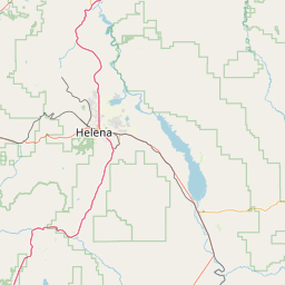
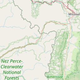
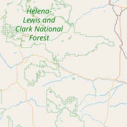

Leaflet | © OpenStreetMap contributors