Latitude and longitude of Coulter Field
- Nearby Bryan, Texas, United States
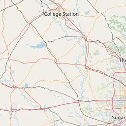
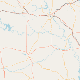
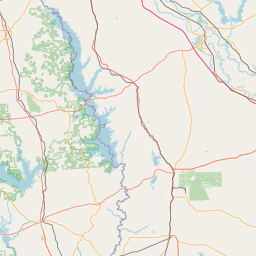
Satellite map of Coulter Field
Coulter Field (IATA: CFD, ICAO: KCFD, FAA LID: CFD) is a public-use airport located three nautical miles (6 km) northeast of the central business district of Bryan, in Brazos County, Texas, United States. It is owned by the City of Bryan which is part of the Bryan-College Station area.
Latitude: 30° 42' 33.59" N
Longitude: -96° 19' 31.80" W
Nearest city to this article: Bryan, Texas
Read about Coulter Field in the Wikipedia Satellite map of Coulter Field in Google Maps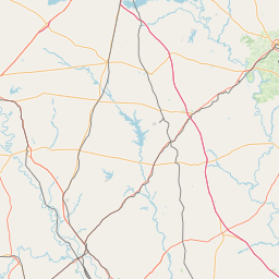
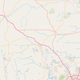

Leaflet | © OpenStreetMap contributors