Latitude and longitude of Lake Bryan
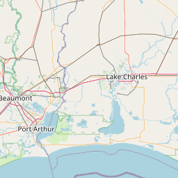
- Nearby Bryan, Texas, United States
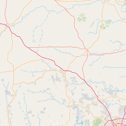
Satellite map of Lake Bryan
Lake Bryan is a power plant cooling reservoir in Brazos County, 5 miles (8 km) northwest of Bryan, Texas, United States. The dam and lake are managed by Bryan Texas Utilities which uses the reservoir as a cooling pond for the electrical generators in the Dansby Power Plant. The reservoir was officially impounded in 1974. Lake Bryan is a popular recreational destination.
Latitude: 30° 42' 45.59" N
Longitude: -96° 27' 56.99" W
Nearest city to this article: Bryan, Texas
Read about Lake Bryan in the Wikipedia Satellite map of Lake Bryan in Google Maps


Leaflet | © OpenStreetMap contributors