Latitude and longitude of Dane County, Wisconsin
- Nearby Madison, Wisconsin, United States
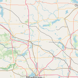
Satellite map of Dane County, Wisconsin
Dane County is a county in the State of Wisconsin. As of the 2010 census, the population was 488,073. making it the second-most populous county in Wisconsin.
Latitude: 43° 04' 12.00" N
Longitude: -89° 25' 12.00" W
Nearest city to this article: Madison, Wisconsin
Read about Dane County, Wisconsin in the Wikipedia Satellite map of Dane County, Wisconsin in Google Maps


Leaflet | © OpenStreetMap contributors