Latitude and longitude of Ashland County, Ohio
- Nearby Lincoln Heights, Ohio, United States
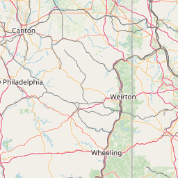
Satellite map of Ashland County, Ohio
Ashland County is a county located in the U.S. state of Ohio. As of the 2010 census, the population was 53,139. Its county seat is Ashland. The county is named for "Ashland", the home of Senator Henry Clay near Lexington, Kentucky.
Latitude: 40° 50' 24.00" N
Longitude: -82° 16' 12.00" W
Nearest city to this article: Ashland, Ohio
Read about Ashland County, Ohio in the Wikipedia Satellite map of Ashland County, Ohio in Google Maps


Leaflet | © OpenStreetMap contributors