Latitude and longitude of Calhoun County Airport (Florida)
- Nearby Blountstown, United States
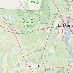
Satellite map of Calhoun County Airport (Florida)
Calhoun County Airport (FAA LID: X10) is a public airport 5 miles (8.0 km) northwest of Blountstown in Calhoun County, Florida. It is on State Road 71 between the unincorporated communities of Leonards, and Chipola and is publicly owned.
Latitude: 30° 29' 7.62" N
Longitude: -85° 06' 30.27" W
Nearest city to this article: Blountstown
Read about Calhoun County Airport (Florida) in the Wikipedia Satellite map of Calhoun County Airport (Florida) in Google Maps


Leaflet | © OpenStreetMap contributors