Latitude and longitude of DeBordieu, South Carolina
- Nearby Andrews, South Carolina, United States
Satellite map of DeBordieu, South Carolina
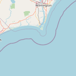
DeBordieu, DeBordieu Beach or DeBordieu Colony is a private community in Georgetown County, South Carolina. It consists of approximately 2,700 acres (11 km2) of land, of which roughly 800 acres is wildlife preserve. DeBordieu is located south of Pawleys Island and north of Georgetown east of U.S.
Latitude: 33° 22' 5.39" N
Longitude: -79° 09' 3.60" W
Nearest city to this article: Georgetown, South Carolina
Read about DeBordieu, South Carolina in the Wikipedia Satellite map of DeBordieu, South Carolina in Google Maps


Leaflet | © OpenStreetMap contributors