Latitude and longitude of Sundial Bridge at Turtle Bay
- Nearby Anderson, California, United States
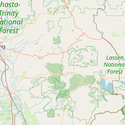
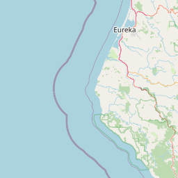
Satellite map of Sundial Bridge at Turtle Bay
The Sundial Bridge (also known as the Sundial Bridge at Turtle Bay) is a cantilever spar cable-stayed bridge for bicycles and pedestrians that spans the Sacramento River in Redding, California, United States and forms a large sundial.
Latitude: 40° 35' 20.55" N
Longitude: -122° 22' 23.67" W
Nearest city to this article: Redding, California
Read about Sundial Bridge at Turtle Bay in the Wikipedia Satellite map of Sundial Bridge at Turtle Bay in Google Maps


Leaflet | © OpenStreetMap contributors