Latitude and longitude of Redding, California
- Nearby Anderson, California, United States
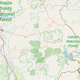
Satellite map of Redding, California
Redding, officially the City of Redding, is the county seat of Shasta County, California.
Latitude: 40° 34' 21.59" N
Longitude: -122° 22' 7.79" W
Nearest city to this article: Redding, California
Read about Redding, California in the Wikipedia Satellite map of Redding, California in Google Maps


Leaflet | © OpenStreetMap contributors