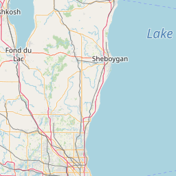
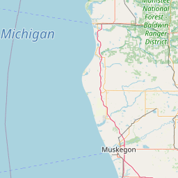
Latitude and longitude of Manitowoc County, Wisconsin
- Nearby Manitowoc, Wisconsin, United States
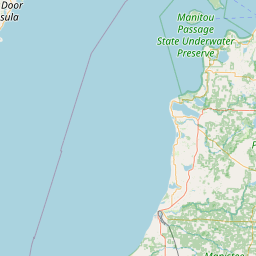
Satellite map of Manitowoc County, Wisconsin
Manitowoc County is a county in the U.S. state of Wisconsin.
Latitude: 44° 08' 60.00" N
Longitude: -87° 32' 60.00" W
Nearest city to this article: Two Rivers, Wisconsin
Read about Manitowoc County, Wisconsin in the Wikipedia Satellite map of Manitowoc County, Wisconsin in Google Maps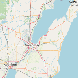


Leaflet | © OpenStreetMap contributors