Latitude and longitude of Twin Lakes Airport (North Carolina)
- Nearby Mocksville, United States
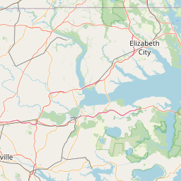
Satellite map of Twin Lakes Airport (North Carolina)
Twin Lakes Airport (FAA LID: 8A7) is a privately owned, public-use airport located five miles (8 km) northeast of the central business district of Mocksville, in Davie County, North Carolina, United States.
Latitude: 35° 54' 32.39" N
Longitude: -80° 27' 14.99" W
Nearest city to this article: Mocksville
Read about Twin Lakes Airport (North Carolina) in the Wikipedia Satellite map of Twin Lakes Airport (North Carolina) in Google Maps


Leaflet | © OpenStreetMap contributors