Latitude and longitude of Davie County High School
- Nearby Mocksville, United States
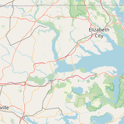
Satellite map of Davie County High School
Davie County High School (DCHS) is a public high school in Mocksville, Davie County, North Carolina, United States.
Latitude: 35° 52' 23.50" N
Longitude: -80° 33' 10.22" W
Nearest city to this article: Mocksville
Read about Davie County High School in the Wikipedia Satellite map of Davie County High School in Google Maps


Leaflet | © OpenStreetMap contributors