Latitude and longitude of Davison, Michigan
- Nearby Flint, Michigan, United States
Satellite map of Davison, Michigan
Davison is a city in Genesee County in the U.S. state of Michigan and a suburb of Flint. The population was 5,536 at the 2000 census and fell to 5,173 by the 2010 census.
Latitude: 43° 02' 3.00" N
Longitude: -83° 31' 2.99" W
Nearest city to this article: Davison, Michigan
Read about Davison, Michigan in the Wikipedia Satellite map of Davison, Michigan in Google Maps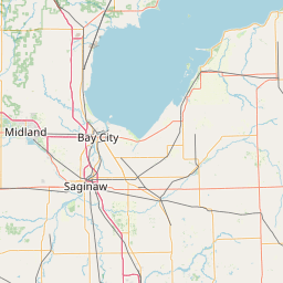


Leaflet | © OpenStreetMap contributors