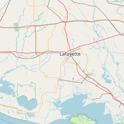
Latitude and longitude of Battle of Irish Bend
- Nearby Morgan City, Louisiana, United States
Satellite map of Battle of Irish Bend
The Battle of Irish Bend, also known as Nerson's Woods or Franklin, was fought between Union Major General Nathaniel Prentice Banks against Confederate Major General Richard Taylor during Banks's operations against the Bayou Teche region near Franklin, the seat of St.
Latitude: 29° 50' 24.00" N
Longitude: -91° 29' 24.00" W


Leaflet | © OpenStreetMap contributors