Latitude and longitude of Marysville, California
Satellite map of Marysville, California
Marysville is the county seat of Yuba County, California, United States. The population was 12,072 at the 2010 census, down from 12,268 at the 2000 census. It is included in the Yuba City Metropolitan Statistical Area, often referred to as the Yuba-Sutter Area after the two counties, Yuba and Sutter.
Latitude: 39° 08' 27.00" N
Longitude: -121° 35' 17.39" W
Nearest city to this article: Yuba City
Read about Marysville, California in the Wikipedia Satellite map of Marysville, California in Google Maps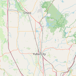

Leaflet | © OpenStreetMap contributors