Latitude and longitude of Peebles Island State Park
- Nearby Scotia, New York, United States
Satellite map of Peebles Island State Park
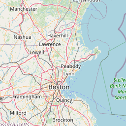
Peebles Island State Park is a park located in New York State at the confluence of the Mohawk and Hudson Rivers.
Latitude: 42° 46' 55.20" N
Longitude: -73° 41' 9.60" W
Nearest city to this article: Cohoes, New York
Read about Peebles Island State Park in the Wikipedia Satellite map of Peebles Island State Park in Google Maps


Leaflet | © OpenStreetMap contributors