Latitude and longitude of Danville, Kentucky
- Nearby Lancaster, Kentucky, United States
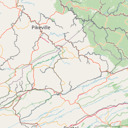
Satellite map of Danville, Kentucky
Danville is a home rule-class city in Boyle County, Kentucky, in the United States. It is the seat of its county. The population was 16,218 at the 2010 census.
Latitude: 37° 38' 44.16" N
Longitude: -84° 46' 11.28" W
Nearest city to this article: Danville, Kentucky
Read about Danville, Kentucky in the Wikipedia Satellite map of Danville, Kentucky in Google Maps


Leaflet | © OpenStreetMap contributors