Latitude and longitude of John I. Leonard Community High School
- Nearby Palm Beach Gardens, United States
Satellite map of John I. Leonard Community High School
John I.
Latitude: 26° 37' 29.99" N
Longitude: -80° 06' 34.80" W
Nearest city to this article: Greenacres City
Read about John I. Leonard Community High School in the Wikipedia Satellite map of John I. Leonard Community High School in Google Maps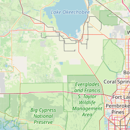


Leaflet | © OpenStreetMap contributors