Latitude and longitude of Charleston County, South Carolina
- Nearby Hanahan, South Carolina, United States
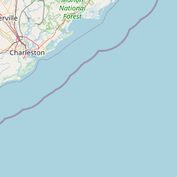
Satellite map of Charleston County, South Carolina
Charleston County is a county located in the U.S. state of South Carolina. As of the 2010 census, its population was 350,209, making it the third-most populous county in South Carolina (behind Greenville and Richland Counties). Its county seat is Charleston.
Latitude: 32° 49' 12.00" N
Longitude: -79° 54' 0.00" W
Nearest city to this article: Mount Pleasant, South Carolina
Read about Charleston County, South Carolina in the Wikipedia Satellite map of Charleston County, South Carolina in Google Maps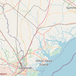


Leaflet | © OpenStreetMap contributors