Latitude and longitude of Bel Air High School (El Paso, Texas)
Satellite map of Bel Air High School (El Paso, Texas)
Bel Air High School is a high school in the city of El Paso, Texas, USA. The school was established in 1957. It houses local middle schools Ranchland Hills MS and Hillcrest Middle School, with transfers from Eastwood as well as other local middle schools.
Latitude: 31° 44' 50.11" N
Longitude: -106° 20' 45.43" W
Nearest city to this article: Fort Bliss
Read about Bel Air High School (El Paso, Texas) in the Wikipedia Satellite map of Bel Air High School (El Paso, Texas) in Google Maps
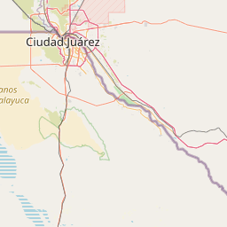
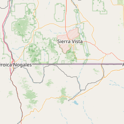

Leaflet | © OpenStreetMap contributors