Latitude and longitude of Wheatland, California
- Nearby Marysville, California, United States
Satellite map of Wheatland, California
Wheatland is a city in Yuba County, California, United States. The population was 3,456 at the 2010 census, up from 2,275 at the 2000 census.
Latitude: 39° 00' 21.60" N
Longitude: -121° 25' 13.79" W
Nearest city to this article: Wheatland, California
Read about Wheatland, California in the Wikipedia Satellite map of Wheatland, California in Google Maps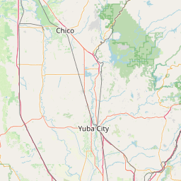
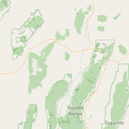

Leaflet | © OpenStreetMap contributors