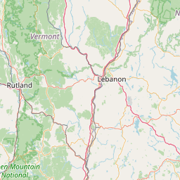
Latitude and longitude of State University of New York Polytechnic Institute
- Nearby Utica, New York, United States
Satellite map of State University of New York Polytechnic Institute
The State University of New York Polytechnic Institute, commonly referred to as SUNY Polytechnic Institute or SUNY Poly, is a public research university with campuses in the town of Marcy in the Utica-Rome metropolitan area and Albany, New York. Founded in 1966 using classrooms at a primary school, SUNY Poly is New York's public polytechnic college.
Latitude: 43° 08' 7.31" N
Longitude: -75° 13' 47.37" W
Nearest city to this article: Utica, New York
Read about State University of New York Polytechnic Institute in the Wikipedia Satellite map of State University of New York Polytechnic Institute in Google Maps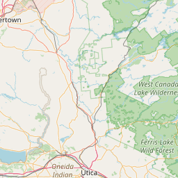


Leaflet | © OpenStreetMap contributors