Latitude and longitude of Port Madison Indian Reservation
- Nearby Mountlake Terrace, United States
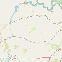
Satellite map of Port Madison Indian Reservation
The Port Madison Indian Reservation is an Indian reservation belonging to the Suquamish Tribe, a federally recognized indigenous nation and signatory to the Treaty of Point Elliott of 1855.
Latitude: 47° 43' 56.63" N
Longitude: -122° 33' 17.61" W
Nearest city to this article: Suquamish
Read about Port Madison Indian Reservation in the Wikipedia Satellite map of Port Madison Indian Reservation in Google Maps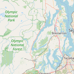


Leaflet | © OpenStreetMap contributors