Latitude and longitude of Ely's Stone Bridge
- Nearby Dyersville, United States
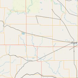
Satellite map of Ely's Stone Bridge
Ely's Stone Bridge is a bridge that was listed on the National Register of Historic Places on March 7, 1979. The bridge was built across Deer Creek in 1893 by Ely Reuben, Sr., a farmer, and his son Ely Reuben, Jr. The bridge is a three-span arch bridge made of stone from the stream bed and quarries in Anamosa, Iowa.
Latitude: 42° 15' 53.04" N
Longitude: -91° 16' 8.12" W
Nearest city to this article: Monticello, Iowa
Read about Ely's Stone Bridge in the Wikipedia Satellite map of Ely's Stone Bridge in Google Maps


Leaflet | © OpenStreetMap contributors