Latitude and longitude of Balltown, Iowa
- Nearby Dyersville, United States
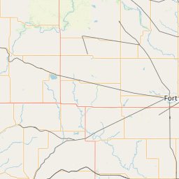
Satellite map of Balltown, Iowa
Balltown is a city in Dubuque County, Iowa, United States. It is part of the Dubuque, Iowa Metropolitan Statistical Area. The population was 68 at the 2010 census, down from 73 at the 2000 census.
Latitude: 42° 38' 8.99" N
Longitude: -90° 52' 4.19" W


Leaflet | © OpenStreetMap contributors