Latitude and longitude of Portal:Washington
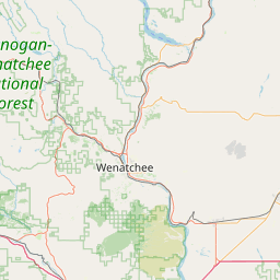
- Nearby Wenatchee, United States
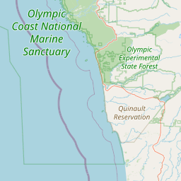
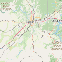
Satellite map of Portal:Washington
Washington is a state in the Pacific Northwest region of the United States. Washington was carved out of the western part of Washington Territory and admitted to the Union as the 42nd state in 1889. In 2011, the Census Bureau estimated the state's population at 6,830,038.
Latitude: 47° 30' 0.00" N
Longitude: -120° 30' 0.00" W
Nearest city to this article: Cashmere, Washington
Read about Portal:Washington in the Wikipedia Satellite map of Portal:Washington in Google Maps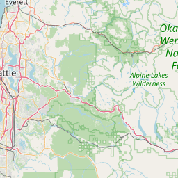

Leaflet | © OpenStreetMap contributors