Latitude and longitude of Mission Ridge Ski Area
- Nearby Wenatchee, United States
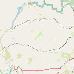
Satellite map of Mission Ridge Ski Area
Mission Ridge Ski Area is a ski area in the western United States, located near Wenatchee, Washington. On the leeward east slope of the Cascade Range, its base elevation is at 4,570 feet (1,393 m) above sea level with the peak at 6,820 feet (2,079 m). Mission Ridge receives an average snowfall of 200 inches (16.7 ft; 5.1 m) per year, with over 300 sunny days, and its slopes face primarily northeast.
Latitude: 47° 17' 18.00" N
Longitude: -120° 23' 33.59" W
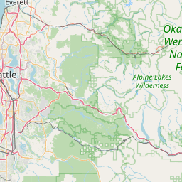
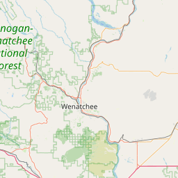

Leaflet | © OpenStreetMap contributors