Latitude and longitude of Florida, Missouri
- Nearby Vandalia, Missouri, United States
Satellite map of Florida, Missouri
Florida is a village in Monroe County, Missouri, United States. It is located at the intersection of Missouri Route 107 and State Route U on the shores of Mark Twain Lake. The population was nine residents according to the 2000 United States Census. Following the 2010 Census the village was reported as uninhabited.
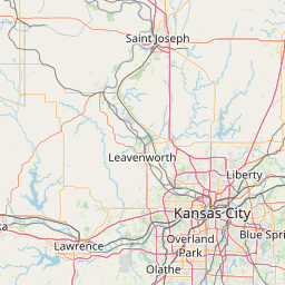
Latitude: 39° 29' 17.99" N
Longitude: -91° 47' 13.79" W


Leaflet | © OpenStreetMap contributors