Latitude and longitude of Mount Fitzgerald (Nevada)
- Nearby Spring Creek, Nevada, United States
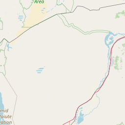
Satellite map of Mount Fitzgerald (Nevada)
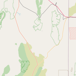
Mount Fitzgerald is the fourth highest named mountain in the Ruby Mountains and the fifth highest in Elko County, in Nevada, United States. It is the thirty-ninth highest mountain in the state. It rises from the heads of both Thomas and Right Fork Canyons (branches of Lamoille Canyon), and is also part of the north wall of Box Canyon, making it a true glacial horn.
Latitude: 40° 36' 19.74" N
Longitude: -115° 24' 38.19" W
Nearest city to this article: Spring Creek, Nevada
Read about Mount Fitzgerald (Nevada) in the Wikipedia Satellite map of Mount Fitzgerald (Nevada) in Google Maps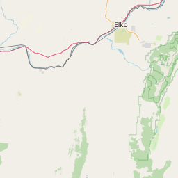

Leaflet | © OpenStreetMap contributors