Latitude and longitude of Scraper, Oklahoma
- Nearby Siloam Springs, United States
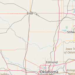
Satellite map of Scraper, Oklahoma
Scraper is an unincorporated community and census-designated place (CDP) in Cherokee County, Oklahoma, United States. The population was 191 as of the 2010 census.
Latitude: 36° 00' 14.40" N
Longitude: -94° 52' 25.19" W


Leaflet | © OpenStreetMap contributors