Latitude and longitude of Coolidge Dam
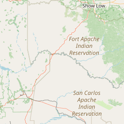
- Nearby San Carlos, Arizona, United States
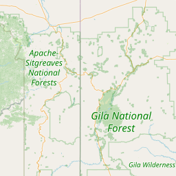
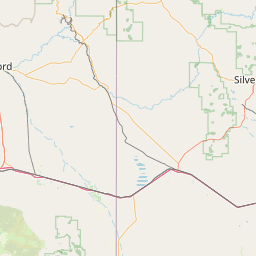
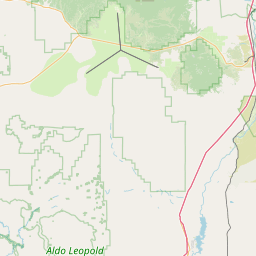
Satellite map of Coolidge Dam
The Coolidge Dam is a reinforced concrete multiple dome and buttress dam 31 miles (50 km) southeast of Globe, Arizona on the Gila River. Built between 1924 and 1928, the Coolidge Dam was part of the San Carlos Irrigation Project.
Latitude: 33° 10' 28.87" N
Longitude: -110° 31' 40.31" W


Leaflet | © OpenStreetMap contributors