Latitude and longitude of Crandall Canyon Mine
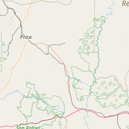
- Nearby Price, Utah, United States
Satellite map of Crandall Canyon Mine
The Crandall Canyon Mine, formerly Genwal Mine, was an underground bituminous coal mine in northwestern Emery County, Utah.
Latitude: 39° 27' 36.00" N
Longitude: -111° 10' 3.50" W
Nearest city to this article: Mount Pleasant, Utah
Read about Crandall Canyon Mine in the Wikipedia Satellite map of Crandall Canyon Mine in Google Maps

Leaflet | © OpenStreetMap contributors