Latitude and longitude of Scofield Reservoir
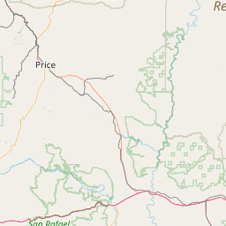
- Nearby Price, Utah, United States
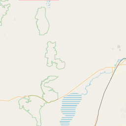
Satellite map of Scofield Reservoir
Scofield Reservoir is a 2,815-acre (11.39 km2) reservoir in Carbon County, Utah, United States. Located on the Price River, a tributary of the Green River, Scofield Reservoir is adjacent to northernmost boundary of the Manti-La Sal National Forest. The reservoir sits at an elevation of 7,618 feet (2,322 m), on the northern edge of the Wasatch Plateau.
Latitude: 39° 47' 7.79" N
Longitude: -111° 07' 7.20" W
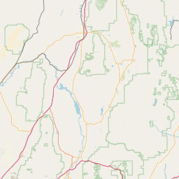

Leaflet | © OpenStreetMap contributors