Latitude and longitude of Pee Dee National Wildlife Refuge
- Nearby Polkton, North Carolina, United States
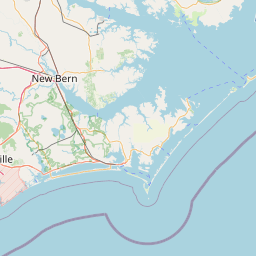
Satellite map of Pee Dee National Wildlife Refuge
Situated along the Pee Dee River, Pee Dee National Wildlife Refuge contains 8,443 acres (34.17 km2) in Anson and Richmond Counties, North Carolina.
Latitude: 35° 05' 0.60" N
Longitude: -80° 02' 35.40" W
Nearest city to this article: Wadesboro, North Carolina
Read about Pee Dee National Wildlife Refuge in the Wikipedia Satellite map of Pee Dee National Wildlife Refuge in Google Maps


Leaflet | © OpenStreetMap contributors