Latitude and longitude of Pine, Arizona
- Nearby Payson, Arizona, United States
Satellite map of Pine, Arizona
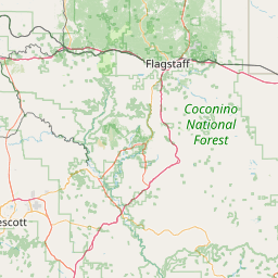
Pine is a census-designated place (CDP) in Gila County, Arizona, United States. The population was 1,931 at the 2000 census.
Latitude: 34° 23' 3.59" N
Longitude: -111° 27' 16.79" W


Leaflet | © OpenStreetMap contributors