Latitude and longitude of Payson Airport
- Nearby Payson, Arizona, United States
Satellite map of Payson Airport
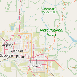
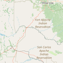
Payson Airport (IATA: PJB, ICAO: KPAN, FAA LID: PAN) is a public airport located one mile (2 km) west of the central business district of Payson, a town in Gila County, Arizona, United States. The airport covers 80 acres and has one runway and one helipad.
Latitude: 34° 15' 15.00" N
Longitude: -111° 20' 12.60" W
Nearest city to this article: Payson, Arizona
Read about Payson Airport in the Wikipedia Satellite map of Payson Airport in Google Maps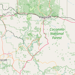


Leaflet | © OpenStreetMap contributors