Latitude and longitude of East Verde River
- Nearby Payson, Arizona, United States
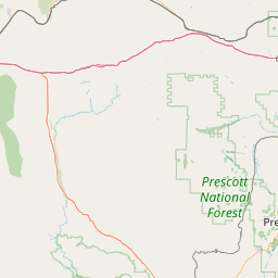
Satellite map of East Verde River
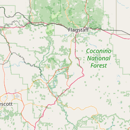
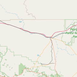
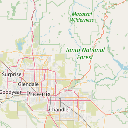
The East Verde River is a tributary of the Verde River in the U.S. state of Arizona. Beginning on the Mogollon Rim near Washington Park, it flows generally southwest through Gila County and the Tonto National Forest northeast of Phoenix. Near the middle of its course, it passes to within about 5 miles (8 km) of Payson, which is southeast of the river.
Latitude: 34° 19' 27.03" N
Longitude: -111° 27' 43.64" W


Leaflet | © OpenStreetMap contributors